Activities
On Proximity


Author: Thérèse Bajada, May 2023
During the Easter holidays I had the opportunity to visit Seville with my family. We hadn’t been abroad for a while because of the pandemic and we also had a new addition to the family. My husband suggested that we go for a short break and I immediately thought of Seville (Ref. 1). I had visited the place some time before Easter on a work trip around 2007 and the mental image that stuck in my mind was the orange trees in the streets and myself walking around. I had enjoyed the city and I thought that it would be a good choice, not to mention the Easter processions and celebrations that are nice for the kids to see and experience. Seville is a walkable city and it didn’t fail me.
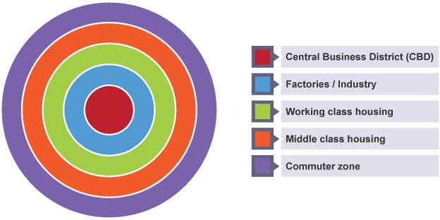
At school and later at University the theoretical urban models that are introduced to us Geographers have at their core the element of proximity. I am talking about models such as the Burgess Concentric Zone model (Ref. 2) and Christaller’s Central Place Theory (Ref. 3).
They were developed with the city centre as the focal point and everything else spans from it providing the opportunity for people to walk and use non-motorised mobility, because at the time when they were developed (1920s and 1930s) walking was still a predominant mode of transport in urban areas.
Proximity is an important component in Geography, it consists of space, distance and the element of time comes in naturally. When activities and events are in proximity to where people live they are able to maximise their activities and move around using active modes of transport, micromobility and public transport.
In Seville we walked – everywhere – with a four year old and an 11 month old in a pushchair. We visited all the sites that we wanted to see and the maximum distance that we walked to the destination was 30 minutes. Ref. 4 shows some of our movements as recorded by Google Timeline from my mobile.
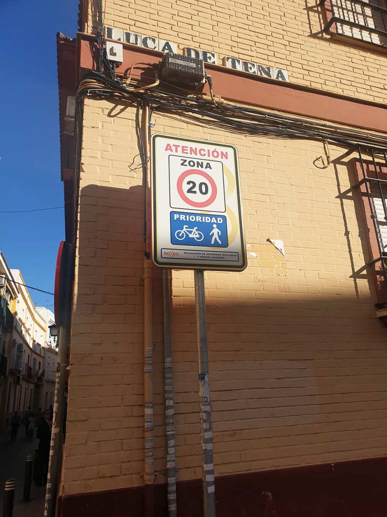
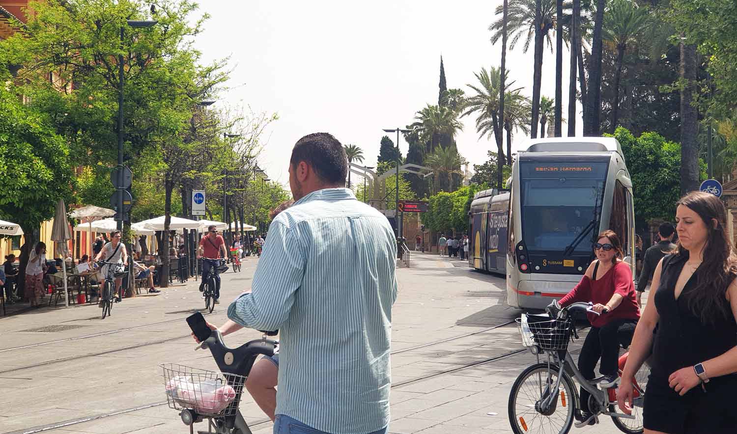
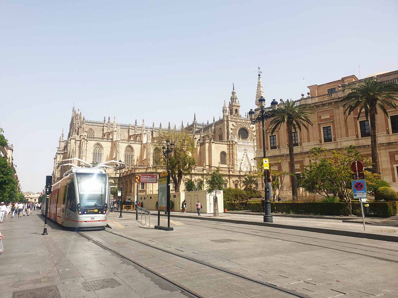
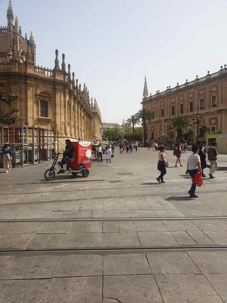
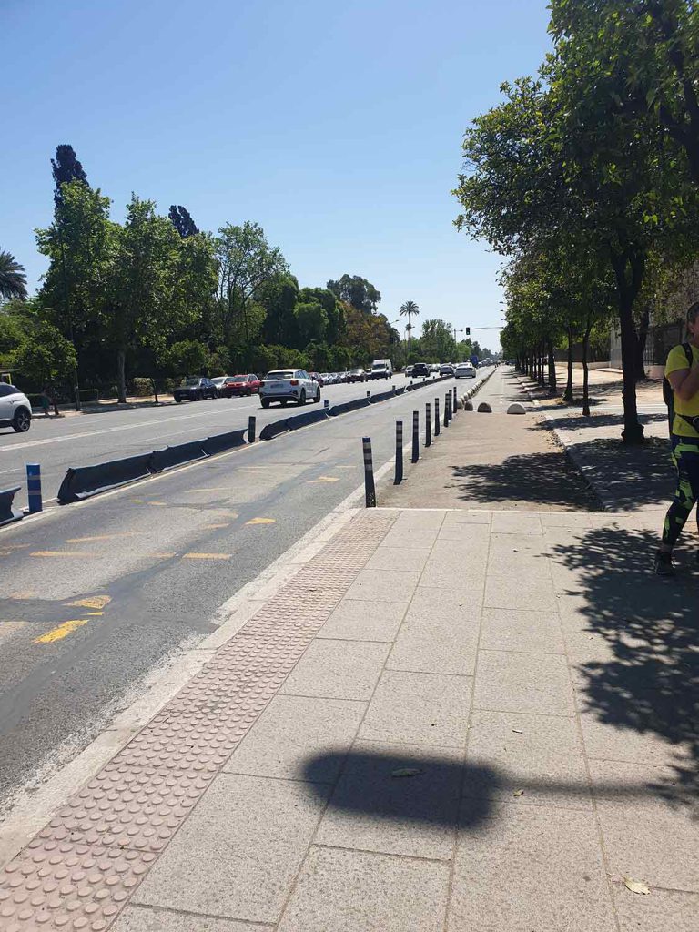
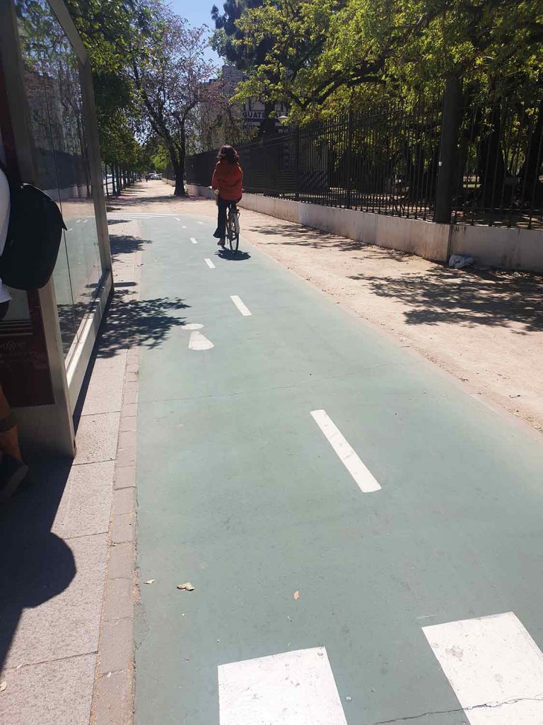
The infrastructure in the city facilitates this. The streets and pavements are walkable. I’m not saying that it is perfect but it is very accessible and walkable. Where there is mixed mobility and the road space is shared with pedestrians, the maximum speed limit for vehicles is 20km/hr. In the central area, near the cathedral there is also a tram, which is electric and charges at the stops. Metro stops include soft landscaping with vegetation. First and last mile deliveries and cleaning services in the city are done with specially equipped bicycles. Outside the centre the buses are served with a segregated bus lane and next to it there is a bicycle lane (Ref. 5 to Ref. 11).
It was to no surprise that we saw a lot of families with children and elderly walking around. The city was easy to navigate around for all age groups. It felt safe walking around and it was refreshing to see a what can be labelled as an 8 80 city in practice, where people of all age groups can walk around freely with no safety concerns.
When cities are planned with the people in mind, they are successful. Human-centric planning contributes to sustainable mobility, which shows that it is equitable.
The question to ponder upon is, why do Maltese residents have to go abroad to experience sustainable mobility practices?
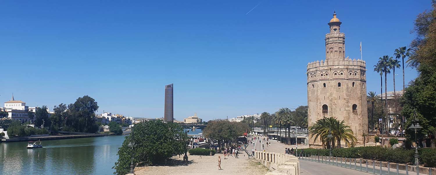
Ref. 1: The Golden Tower and the Guadalquivir River Credit: Thérèse Bajada (2023)
Ref. 2: Burgess Concentric Zone Model. Source: BBC Bitesize (2023) https://www.bbc.co.uk/bitesize/guides/z3h7sg8/revision/2#:~:text=One%20of%20the%20most%20famous,central%20parts%20of%20the%20settlement.
Ref. 3: Christaller’s Central Place Theory. Source: Geography Realm (2023) https://www.geographyrealm.com/central-place-theory/
Ref. 4: Google Timline recordings, maps are indicate and not to scale. Source: Google (2023)
Ref. 5: Priority for cyclists and pedestrians, 20km/hr zone. Credit: Thérèse Bajada
Ref. 6: Mixed mobility in the the city centre. Credit: Thérèse Bajada
Ref. 7: Tram being charged at the stop. Credit: Thérèse Bajada
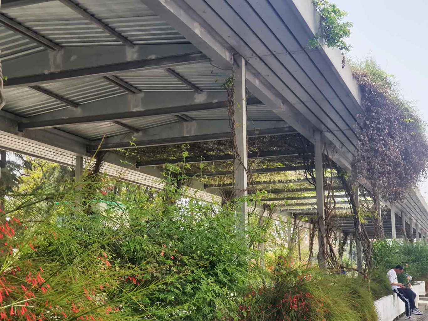
Ref. 8: Metro stop with soft landscaping. Credit: Thérèse Bajada
Ref. 9: First and last mile deliveries using specifically equipped bicycles. Credit: Thérèse Bajada
Ref. 10: Segregated bus way and segregated cycle lane, with tactile surfaces next to the bus stop. Credit: Thérèse Bajada
Ref. 11: Bicycle lane and walkway. Credit: Thérèse Bajada